Nevada Map

Facebook Twitter Google+
Follow The Go Travel Sites on Facebook

Red Rock Canyon, Nevada - Transportation

Maps, Directions, Airports, Rental Cars, Shuttles,...

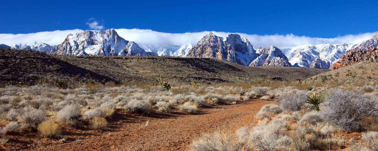
Transportation information for Red Rock Canyon is provided below. Travel information includes driving directions, maps, airport information and more.

travel planner Results
View
Plot just the current page's results    Plot all   results

Loading Results
 

1 travel planner Results

  • Nevada Travel and Tourism

Nevada Travel and Tourism There are tons of things to see and do in Nevada. And you'll find them all in the Nevada Visitor's Guide. Regional must-sees to fun facts, big city attractions to cultural charms, it makes planning the perfect Nevada escape a cinch. Order today!

Request Your Free Travel Planners

Airports

Las Vegas has the closest airport to Red Rock Canyon. The McCarran International Airport is a major western US hub, and offers hundreds of flights daily to destinations around the country.

Ground Transportation

  • Transportation Services

Enterprise Rent-A-Car Get a free upgrade on your next rental - most Airport Locations. BOOK NOW! Enterprise Rent-A-Car offers great rates and great service. Choose from over 6,500 locations near your home, work or destination.

Basic Directions

Red Rock Canyon is located a short drive west of Las Vegas, less than 10 miles from the edge of the urban area. Take W Charleston Boulevard west, and continue along as it turns into Blue Diamond Road. The Red Rock area is also accessible via State Route 160 from the south.

Customizable Directions

Formatted DirectionsMap

Email Page Link

Complete the form below to email this page to a friend or family member's email. You can send yourself an email as well. Your email and your recipient's email will NOT be shared with anyone. See our full Privacy Policy for details.
:
:
:


:
Copy Yourself on the Email Yes No
:
: