Nevada Map

Facebook Twitter Google+
Follow The Go Travel Sites on Facebook

Virginia City, Nevada - Transportation

Maps, Directions, Airports, Rental Cars, Shuttles,...

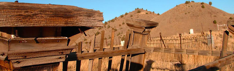
Transportation information for Virginia City is provided below. Travel information includes driving directions, maps, airport information and more.

travel planner Results
View
Plot just the current page's results    Plot all   results

Loading Results
 

1 travel planner Results

  • Nevada Travel and Tourism

Nevada Travel and Tourism There are tons of things to see and do in Nevada. And you'll find them all in the Nevada Visitor's Guide. Regional must-sees to fun facts, big city attractions to cultural charms, it makes planning the perfect Nevada escape a cinch. Order today!

Request Your Free Travel Planners

Airports

The nearest commercial airport to Virginia City is the Reno-Tahoe International Airport. Connections can be made from Reno to dozens of national and international destinations.

Ground Transportation

  • Transportation Services

Enterprise Rent-A-Car Get a free upgrade on your next rental - most Airport Locations. BOOK NOW! Enterprise Rent-A-Car offers great rates and great service. Choose from over 6,500 locations near your home, work or destination.

Basic Directions

Virginia City is located on State Route 341, a windy mountain pass connecting US 50 with State Route 395 heading to Reno. Virginia City is only about 24 miles from Reno, but driving can be slow, particularly in winter.

Customizable Directions

Formatted DirectionsMap
Nevada Virginia City Houseboating.org-Skyscraper-Space-Available

Email Page Link

Complete the form below to email this page to a friend or family member's email. You can send yourself an email as well. Your email and your recipient's email will NOT be shared with anyone. See our full Privacy Policy for details.
:
:
:


:
Copy Yourself on the Email Yes No
:
: