Nevada Map

Austin, Nevada - Transportation

Maps, Directions, Airports, Rental Cars, Shuttles,...

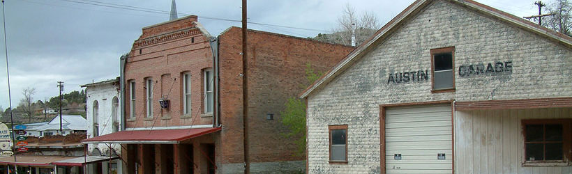
Transportation information for Austin is provided below. Travel information includes driving directions, maps, airport information and more.

Results


Loading Results

Request Your Free Travel Planners

Airports

There is a small airport for private planes just west of town, but the nearest commercial airport is in Elko, 159 miles to the north and east, or in Reno, 173 miles to the west. Reno's airport is the larger of the two, with dozens of daily connecting flights to major US hubs.

Ground Transportation

  • Transportation Services

Enterprise Rent-A-Car Get a free upgrade on your next rental - most Airport Locations. BOOK NOW! Enterprise Rent-A-Car offers great rates and great service. Choose from over 6,500 locations near your home, work or destination.

Basic Directions

Austin is located in central Nevada, at the intersection of US 50 and State Route 305. The closest large town is Reno, 173 miles to the west along US 50 and Interstate 80. Ely, Nevada is 148 miles to the east along US 50, while State Route 305 heads north for 87 miles to Battle Mountain at the intersection with Interstate 80.

Customizable Directions

Formatted DirectionsMap
Nevada Austin IHG-Affiliates-Skyscraper-Space-Available

Email Page Link

Complete the form below to email this page to a friend or family member's email. You can send yourself an email as well. Your email and your recipient's email will NOT be shared with anyone. See our full Privacy Policy for details.
:
:
:


:
Copy Yourself on the Email Yes No
:
: