The prettiest part of the Dog Lake loop is probably the first two miles of the hike, along Butler Fork. Butler Fork meanders northward through a narrow canyon filled with dense groves of quaking aspen, eventually emerging into a more open forest of Engelmann spruce and Douglas fir along the ridge above Mill Creek Canyon. It is not uncommon to see moose along this part of the trail. Look for their hoof tracks along the path-similar to deer tracks, but two to three times larger.
The Lake itself is located in a shallow, heavily forested basin just south of the ridge that separates Mill Creek Canyon from Big Cottonwood Canyon.
Although Dog Lake itself lies outside the Wilderness boundary, Butler Fork is part of the Mount Olympus Wilderness Area and you cannot bring a dog on this part of the hike!
Details
Location:
In Big Cottonwood Canyon southeast of downtown Salt Lake City
Length:
5 mile roundtrip
Difficulty:
Easy
Time:
2-3 hours
Elevation Change:
1680
Season:
June to October
Additional Details:
About 0.5 mile from the Butler Fork Trailhead you will encounter a fork in the trail, with the better used left fork leading to Mill A Basin. Take the right fork for Dog Lake. The trail climbs steadily for another 1.8 miles, finally coming to another fork about 1,680 feet above the trailhead at the top of the ridge. Again, bear right along the crest of the ridge. As you near Dog Lake, about 0.5 mile further east along the ridge, you may be confused by a number of trails that branch off to the north and south. Pay attention to the map, and remember that Dog Lake is just a short way below the ridge on the south side. If you start climbing abruptly to the south you are probably headed for Renolds Peak. If you start descending abruptly to the north you are probably headed down into Mill Creek Canyon. Look for Dog Lake just a few hundred feet after the trail begins descending to the south.
From the southeast corner of Dog Lake a well used mountain bike trail descends for 0.6 mile to another trail junction. Here you will see a sign directing you to either Desolation Lake (left) or Mill D Trailhead (right). Take the right fork to the Mill D Trailhead. You will see a lot more hikers on this side of the loop than you saw along Butler Fork. There are also some summer homes along the east side of Mill D North Fork, and you may catch glimpses of another trail below you that follows the east side of the creek. You will arrive at Big Cottonwood Canyon and the Mill D Trailhead about 2.4 miles after leaving Dog lake.
Map + Directions
Basic Directions
From Downtown Salt Lake City, head south on I-15 about 8 miles to the I-215 Belt Route. Take I-215 East about 5 miles to 6200 South (Exit 6). Bear to the right off the exit ramp onto 6200 South and head east. (It'll turn south after a bit and and merge with Wasatch Boulevard, but just stay on the main road.) Follow it about 2 miles to the light at Big Cottonwood Canyon Road. (On the southwest corner of the intersection is a 7-Eleven gas station and mini-mart.) Take a left and head up canyon. The trailhead is 8 miles past the canyon entrance on the north side of the road. (Note: Along the trip from downtown you'll see large signs to the Solitude and Brighton ski resorts. These resorts are at the top of Big Cottonwood Canyon, so if you follow those signs, you'll get to Big Cottonwood Canyon just fine.)
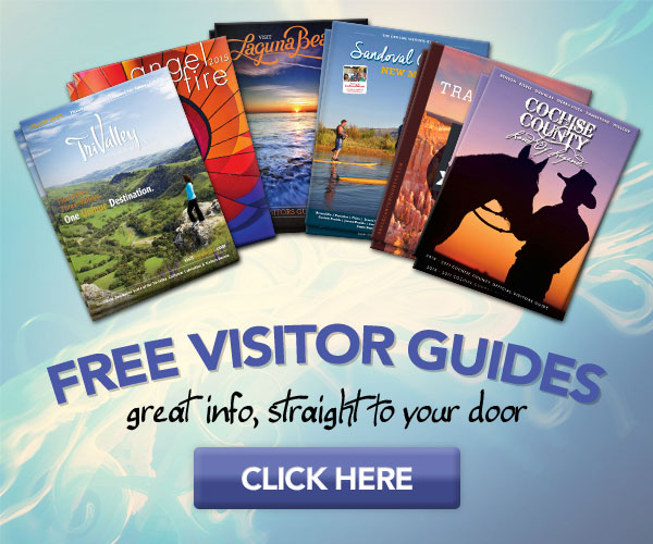
Below are the Free Visitor Guides for Price. More Visitor Guides are available in Nevada. Click here to view them all!
Carbon Corridor Central Utah
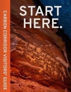
Carbon Corridor
Central UtahCradled by the Book Cliffs, this land boasts rich history reflected in ancient rock art, scenic and adventurous outdoor opportunities, and museums that educate about the region’s history. Request this Free Visitor GuideRequested!You're all set! Request a few more Visitor Guides, or complete the form below to receive your guides by mail.
Emery County, Utah South Central Utah
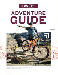
Emery County, Utah
South Central UtahWelcome to the Swell, a natural playground in the heart of Utah. Within the region, you will find endless opportunities to ride, climb, camp, hike or paddle. Request this Free Visitor GuideRequested!You're all set! Request a few more Visitor Guides, or complete the form below to receive your guides by mail.
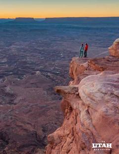
Utah - Life Elevated Statewide
Utah - Life Elevated
StatewideWith five national parks and more than 40 state parks, Utah offers a wealth of outdoor activities for families & adventurers alike. Order your free Travel Guide today. Request this Free Visitor GuideRequested!You're all set! Request a few more Visitor Guides, or complete the form below to receive your guides by mail.
We also have the following visitor guides in Nevada. Click on any additional guides you would like to receive.
Lake Havasu City Western Arizona
Lake Havasu City
Western ArizonaWelcome to Lake Havasu City…where you can Play Like You Mean It®! Located on the Arizona shoreline of Lake Havasu, Lake Havasu City is a destination for boaters, water sport enthusiasts, hikers, nature lovers, car enthusiasts and history buffs. It attracts 775,000 visitors a year with its calm waters, beautiful beaches and desert weather with more than 300 sunny days a year. Request this Free Visitor GuideRequested!You're all set! Request a few more Visitor Guides, or complete the form below to receive your guides by mail.
Utah - Life Elevated Statewide
Utah - Life Elevated
StatewideWith five national parks and more than 40 state parks, Utah offers a wealth of outdoor activities for families & adventurers alike. Order your free Travel Guide today. Request this Free Visitor GuideRequested!You're all set! Request a few more Visitor Guides, or complete the form below to receive your guides by mail.
Specialty Guides
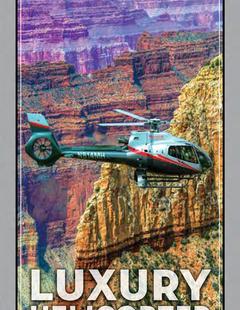
Maverick Helicopters Nevada, Arizona, Hawaii, and California
Maverick Helicopters
Nevada, Arizona, Hawaii, and CaliforniaUnforgettable Tours Offered in Nevada, Arizona, Hawaii, and California. Request this Free Visitor GuideRequested!You're all set! Request a few more Visitor Guides, or complete the form below to receive your guides by mail.
We also have visitor guides available in states highlighted in blue below. Click on any state to see what's available.
Alaska
Arizona
California
Canada
Colorado
Hawaii
Idaho
Louisiana
Michigan
Montana
Nevada
New Mexico
Ohio
Oregon
Texas
Utah
Washington
Wyoming
Switch to Mobile Browser Mode
We offer a compact version of Go-Nevada for mobile users, allowing you to access just the information you need on the road. Of course, you can still use the full version of Go-Nevada on your mobile device just as you can on your desktop.


")